Nearby Photos 1 mile 5 miles Linked Photos | Add your Location | Add to this Location
[See location on a map using a - Computer, Android Phone, or iPhone ] | [Share note by text with Android ][ Go with Uber in a Browser | Get $20 Uber Credit ]
Three photos nearby within one mile.
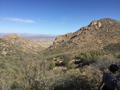
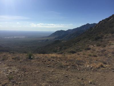
Baylor Canyon Hiking Trail. Looking towards Las Cruces
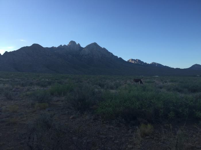
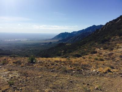
OpenNote: Baylor Canyon hiking trail
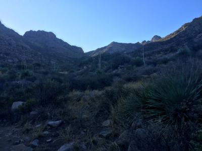
Baylor Canyon Hiking Trail. Free range cattle
Share photos and notes from your smartphone with location information at GPShere.info. Search for nearby places from your phone. Buy an advertisement here for $1 for the entire year. It can be text or a link. Limit three per page. Buy Now.
+ Share Facebook + Twitter + Android SMS Text
Showing first five replies; total replies are 5. See all Replies
0.844 Miles - Baylor Canyon Hiking Trail. Free range cattle ...Read more
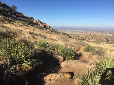
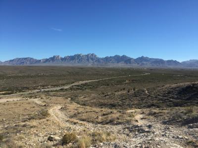
1.996 Miles - Baylor Canyon Hiking Trail. Top of the trail. ...Read more
0 Miles - Baylor Canyon Hiking Trail. Looking towards Las Cruces ...Read more
0 Miles - Baylor Canyon Hiking Trail. Top of the trail. Taken with an iPhone ...Read more
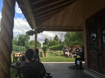
32.18 Miles - OpenNote: Zin Valle Vineyards Live Music on Sundays ...Read more
Showing nearby photos within 10 miles.
6.909 Miles - Hiking around A Mountain. ...Read more

12.052 Miles - Nachos at High Desert Brewing #food ...Read more
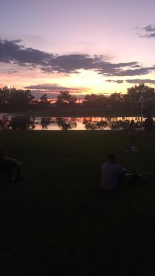
10.163 Miles - Young Park Sunset ...Read more
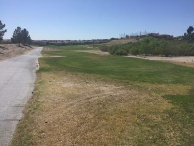
8.191 Miles - Hole 2 Sonoma Ranch Golf Course ...Read more

10.657 Miles - Rainbow roll at Okazuri Sushi in Las Cruces ...Read more